
Sunday, June 9th, 2019.
Day 9 of Trekking the Huayhuash Circuit by G-adventures
Todays plan:
“Huanacpatay to Huantiac, 8 hrs
Descend into the Huanacpatay valley, enjoy views of waterfalls in the distance en route to Huantiac camp, a high altitude meadow in the shadows of Mt Diablo Mudo.
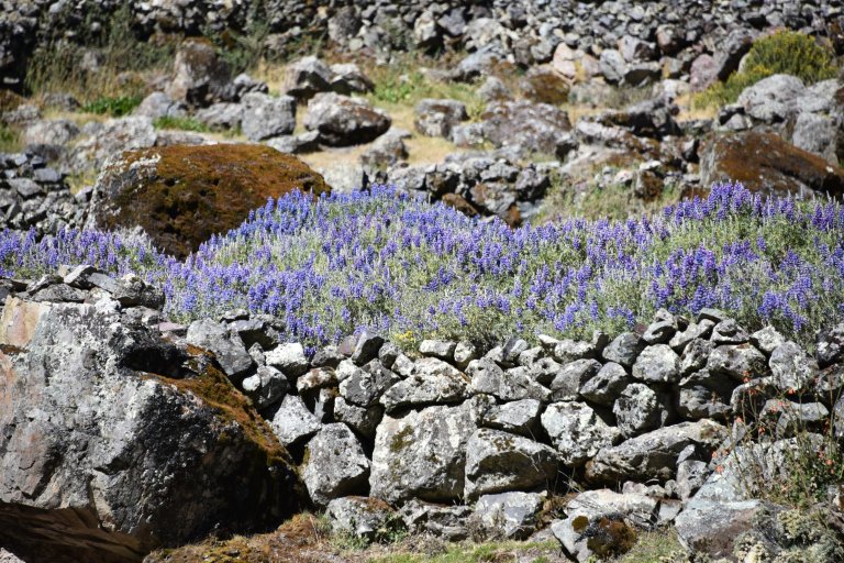
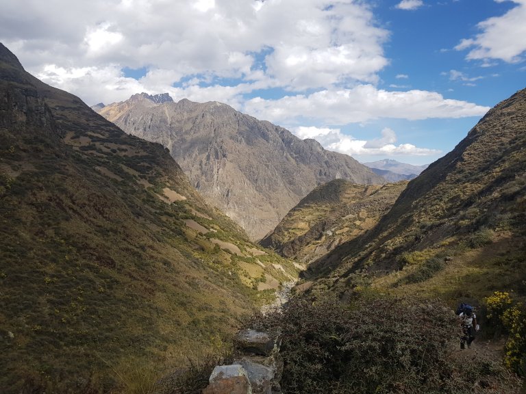
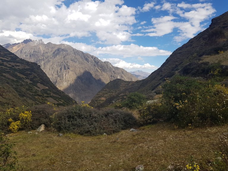
Descend into the Huanacpatay valley and enjoy the noticeable change to a warmer climate in this cultivated valley. Continue on to the isolated village of Huayllapa, stopping en route to marvel at waterfalls in the distance.
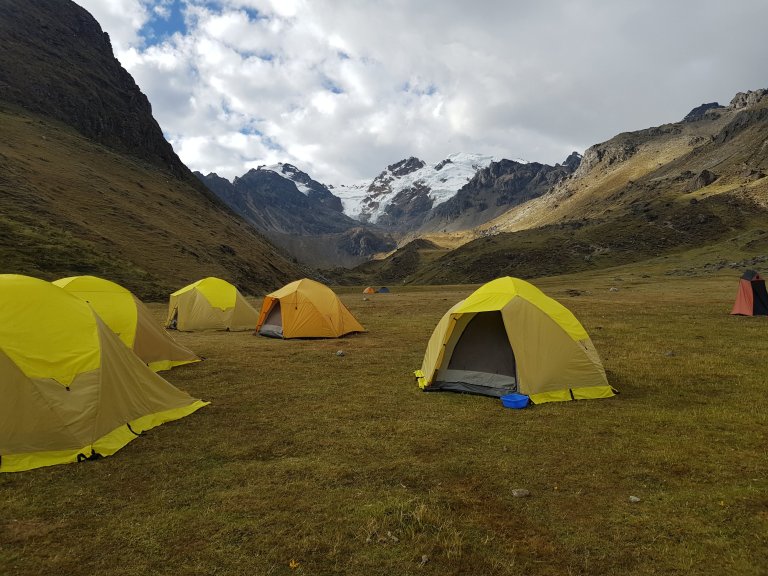
In the afternoon, climb steeply to reach Huantiac Camp, a high altitude meadow at (4,350m/14, 272 ft) hidden in the shadow of Diablo Mudo Mountain. This is a tough afternoon, especially when temperatures are high.”
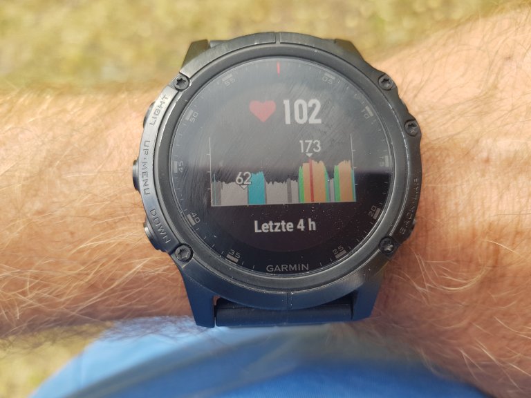
The longer I stay in high altitude the lower my heart rate gets at night.

At least the oxygen in my blood increased a little bit from 73 % before going to sleep to 85 % on the morning. Ready for another some passes …

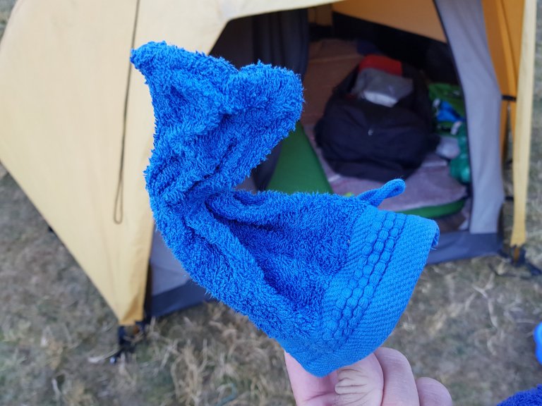
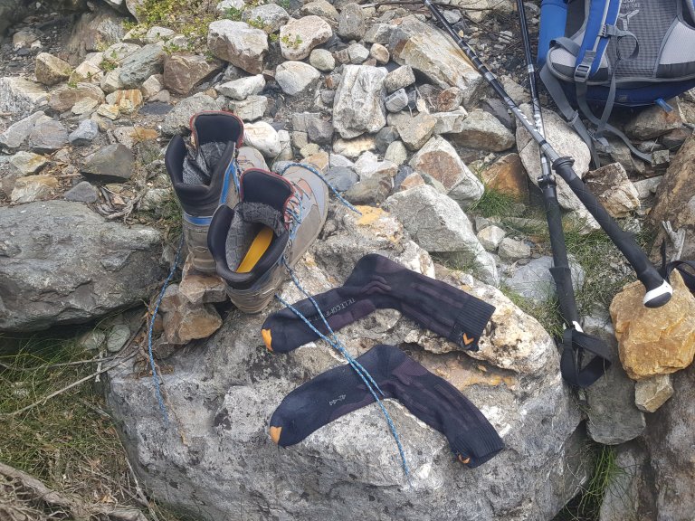
The overnight temperature test in front of my tent shows my washing stuff deep frozen. Yes it was cold.
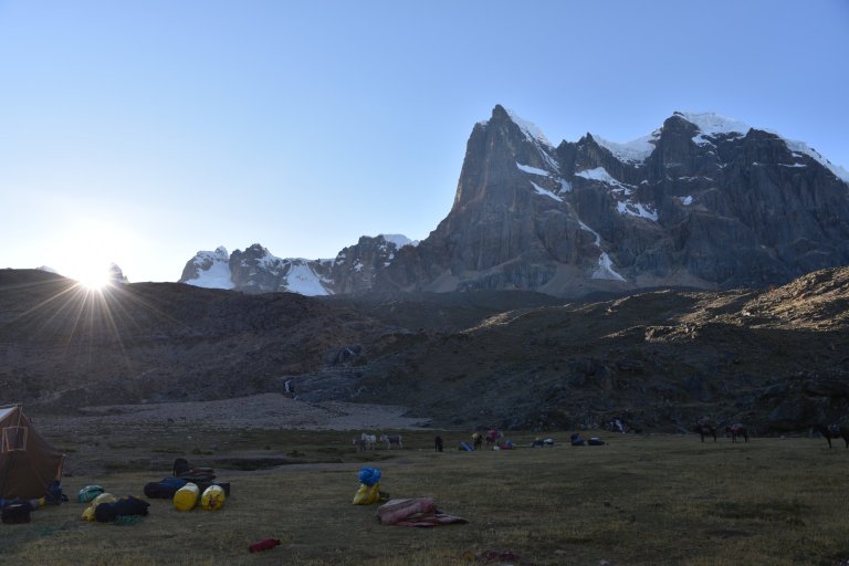
Sun rises … no clouds … thank you rainy season for waiting a little bit …

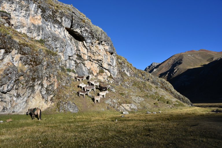
Donkeys are as every morning in search for every sunbeam …
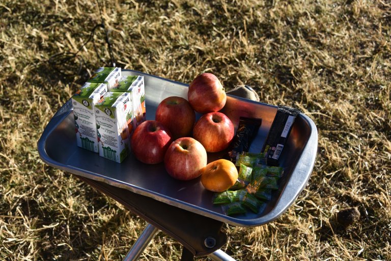
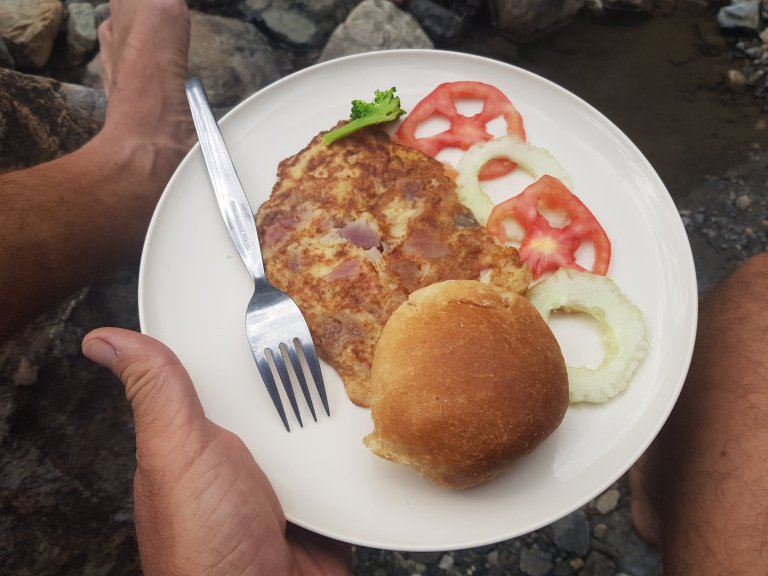
The contents for the lunch package are waiting
Huanacpatay campsite, 07:30 am, 4.431 masl
10°22’30.7″S 76°54’25.3″W
Cajatambo, 15195, Peru
Google Maps
Lucy shouts “vamos”

Same morning procedure as every day. It is super cold, we walk on wit daun jackets into the flat bassin of the river from the campsite.


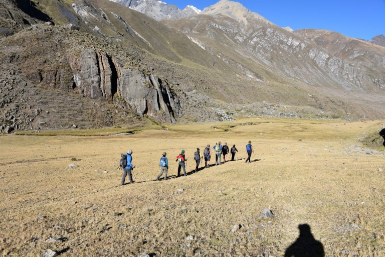
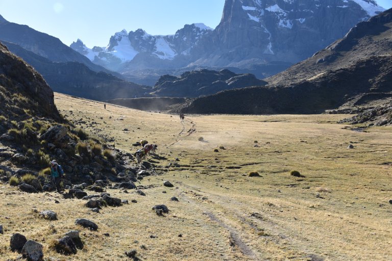
The donkeys come running and overtake us. Our tents will already be waiting when we arrive in the camp.


First break, 09:15 am, 4.291 masl
10°22’33.6″S 76°56’09.6″W
Cajatambo, 15195, Peru
Google Maps
It gets warmer
Second break, 10:00 am, 4.207 masl
10°22’10.3″S 76°57’19.3″W
Cajatambo, 15195, Peru
Google Maps
One layer off …

Third break, 11:19 am, 4.007 am
10°21’33.6″S 76°57’42.2″W
ACP Huayllapa, Peru
Google Maps
Next layer off …


Huayllapa town, 12:51 pm, 3.640 masl
10°21’24.3″S 76°59’50.0″W
ACP Huayllapa, Peru
Google Maps

Of course my arrow is the one pointing straight up …


Lunchplace at the river, 13:15 pm, 3.751 masl
10°20’57.5″S 77°00’02.0″W
Google Maps
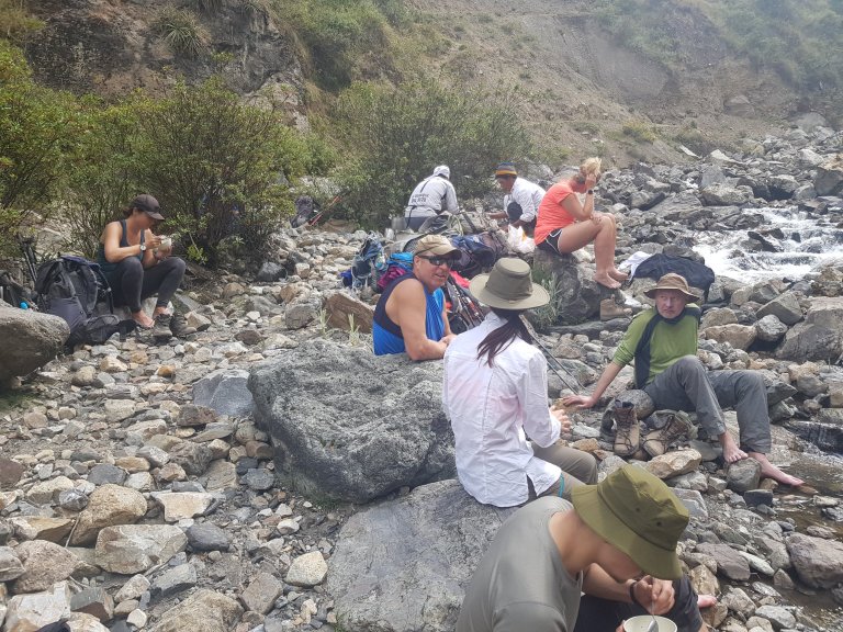
After lunch we continue walking up to the pass and then down to the campsite.
Huntiac Campsite, 15:38 pm, 4.329 masl
10°19’32.7″S 76°59’41.0″W
ACP Huayllapa, Peru
Google Maps


No, I was in no hurry.

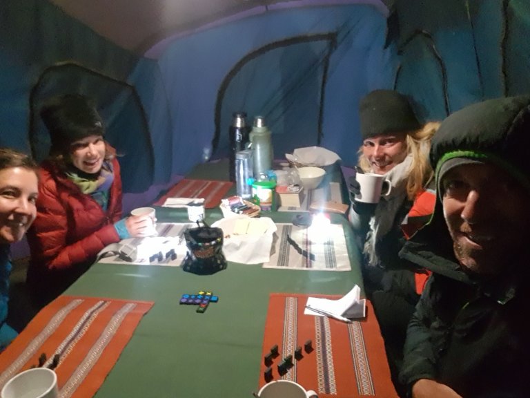
Before dinner we do a qwirkle


Sun leaves.


The dinner tent is not rain proof. Half of the tent is dripping, so we sit o the other half. I run out to check my tent. Not rain proof. After having the protective layer of the tent changed with the emergency tent it is less worse, but still not water proof.
As I go into bed I put the goretex jacket over my sleeping bag to stay dry. At midnight rain stops, it is getting cold and I finally fall asleep.


Accomodation: Huantiac Campsite
