
Wednesday, June 5th, 2019.
Day 5 of Trekking the Huayhuash Circuit by G-adventures
Todays plan:
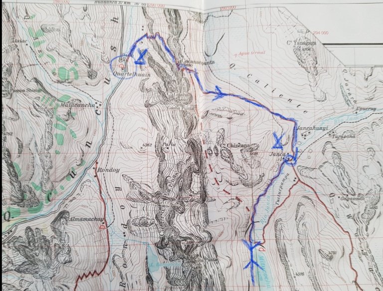
“Cuartelhuain to Loma Ollocuyoc
Leave early and head for Cacananpunta Pass (4,690m/15,387 ft) providing a spectacular view of the valleys and mountains. Trek on to Janca campsite (4,250m/13,944 ft) and arrive around lunchtime. This is a shorter day, to help with acclimatization, take a break or trek to the nearby Lake Mitucocha in the afternoon.”
As announced: 06:00 am wake-up with hot tea, at 06:45 am duffle bags and daypacks out of the tent, breakfast. At 07:30 am starting to walk. First alarm clock goes off at 5:45 am. The night was super cold. We all knew as we have been in the tent for dinner yesterday. I slept with my daun jacket and a warm beanie.
I crawl out of my sleeping bag and put my stuff into the huge duffle bag again. At 06:00 am Karina, the assistant hiking guide opens the tent and gives me a cup of hot Koka tea. Short afterwards they bring a small pot with hot water. I was my face, change to hiking gear, keep just the rain gear, food, water, camera in my daypack. I brush my teeth. Hopefully the electric toothbrush keeps power for 8 days. Then I put my duffle bag out on a plastic and take my daypack to the breakfast tent. Blue sky.
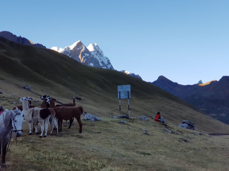
The Llamas and donkeys already wait for being loaded.
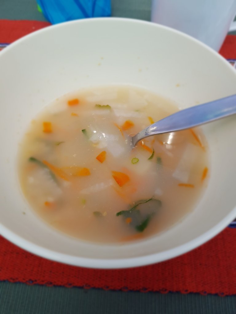
Breakfast is very simple, egg- based, some bread, honey and marmelade. Hot tea or Nescafe. Everybody wants the honey.
After breakfast we go out. We get a small reuse bag for our snacks, fruit, sugar, cereal or chocolate bar. I take the chocolate, nothing heavy to carry first day.
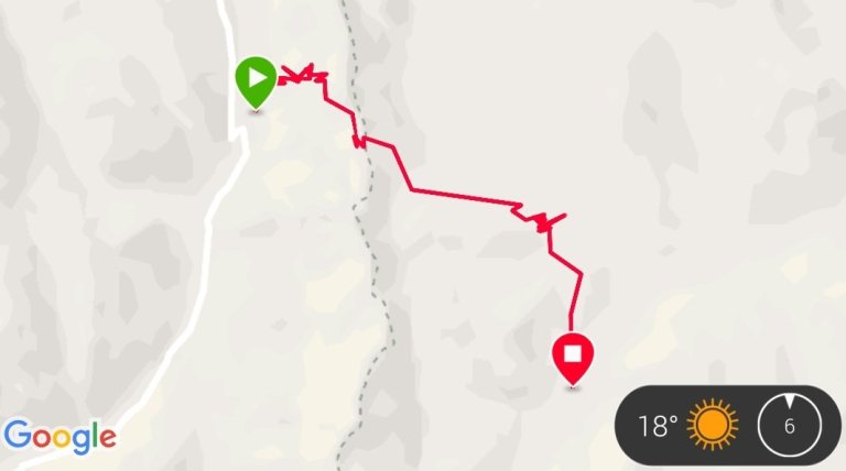
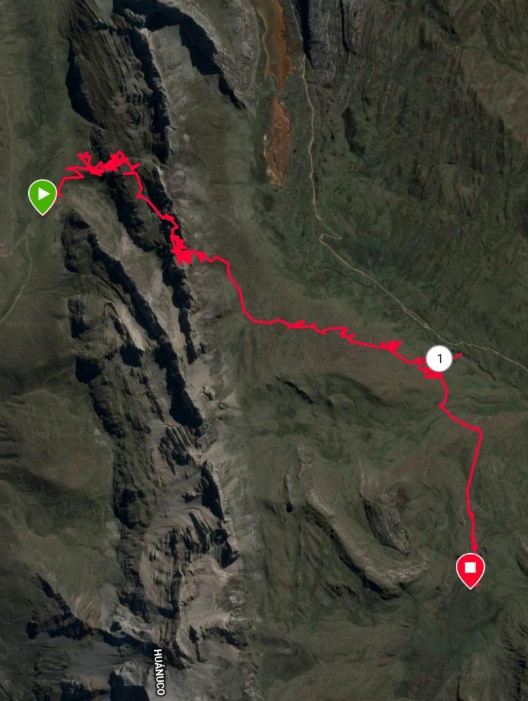
Cuartelhuan Campsite 07:30
10°09’14.3″S 76°55’21.0″W
Huasta, 02415, Peru
Google Maps
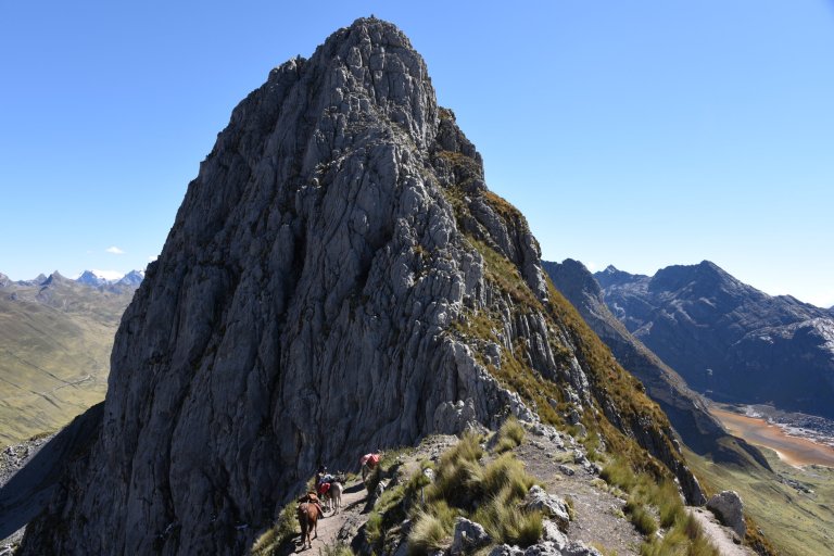
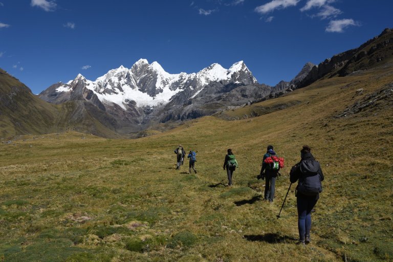
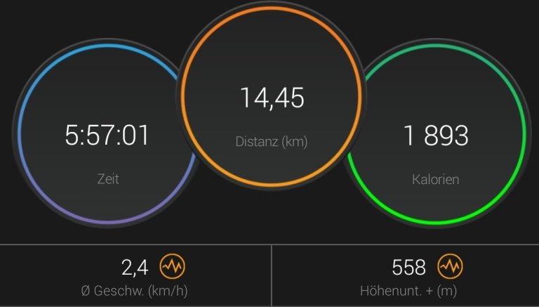
Lucy says “vamos”, we head for the first pass. Cacananpunta, 5 hrs walktime, some more than 500 m altitude up.


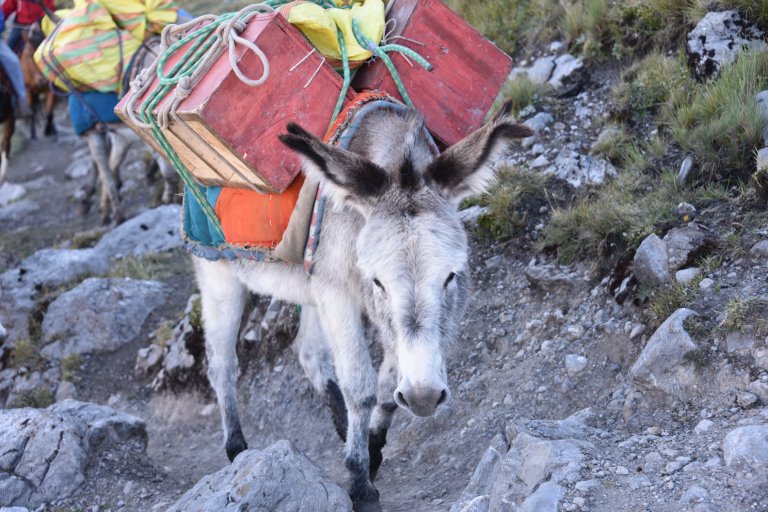
Half an hour after we started the donkeys catch us …

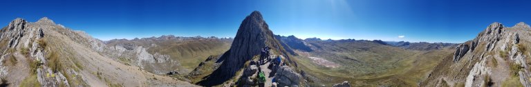
After a steep climb we reach Cacananpunta Pass at blue sky. It is freezing cold and windy.
Cacanapunta Pass 10:20
10°09’23.0″S 76°54’41.8″W
Huasta, 02415, Peru
Google Maps


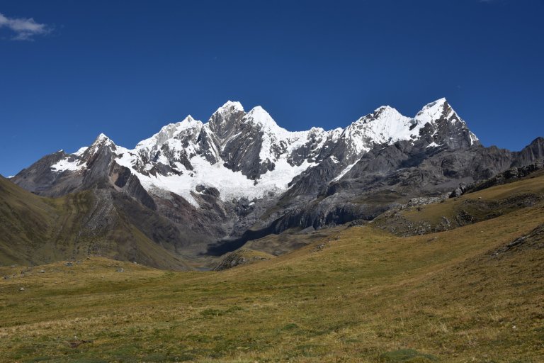
In the distance we see condors flying …


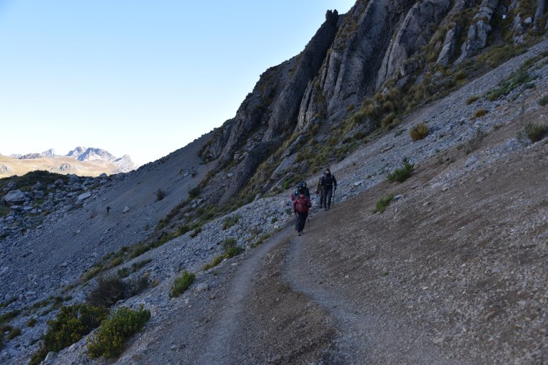

We begin our descent.

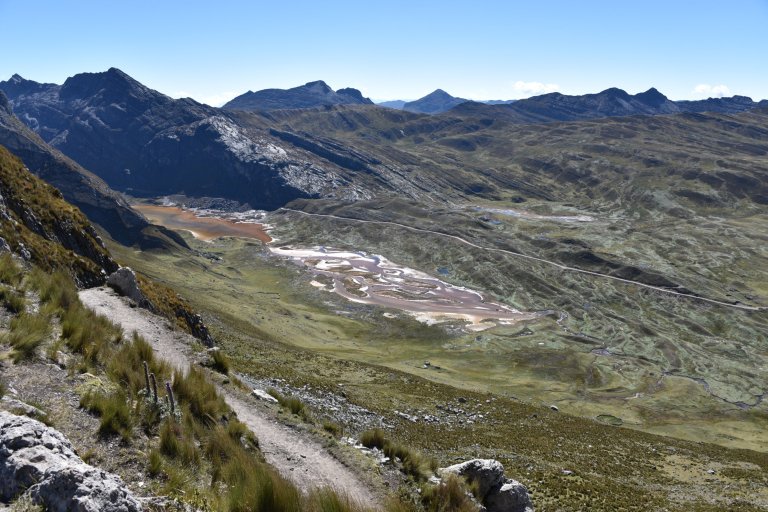


Until we reach the camp at Lomo Ollocuyoc.
Mitucocha Campsite 14:00
10°10’51.0″S 76°53’25.7″W
Queropalca, 10650, Peru
Google Maps


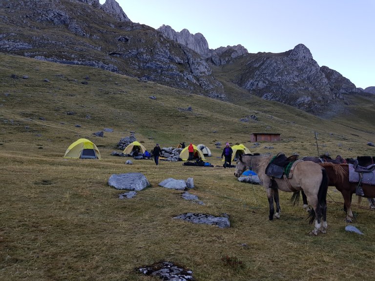
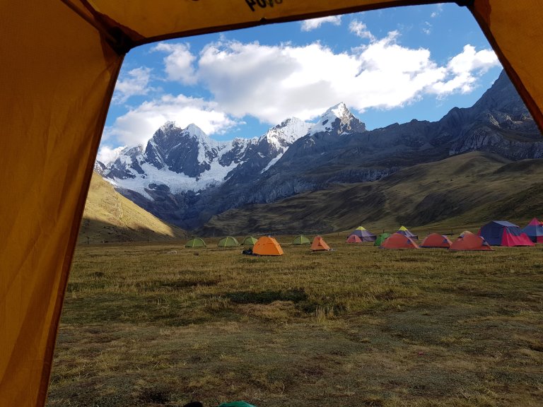
The tents are already built up. We have lunch.

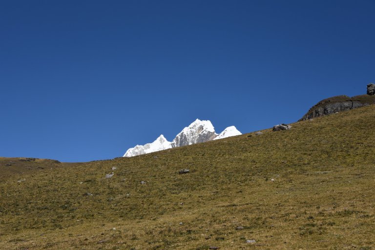
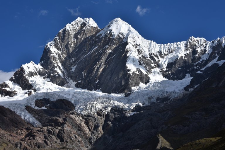
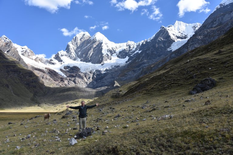
The I go further to the Laguna mitucocha. Maybe I catch a view to the glaciers leg of Jirishanca mountain.
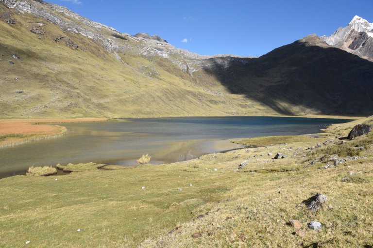

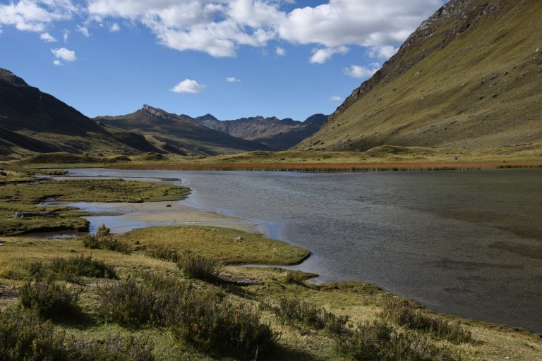
End of Laguna Mitucocha
10°12’10.5″S 76°53’45.4″W
Queropalca, 10650, Peru
Google Maps
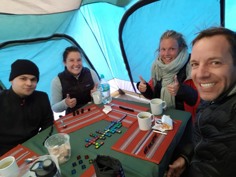
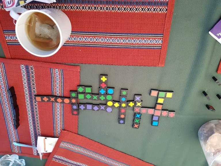
The I head back to the camp, enjoy the view out of my tent and get out my Travel Qwirkle.
Todays hike:

Accomodation: Janca Campsite, 4242 masl
Mitucocha Campsite 14:00
10°10’51.0″S 76°53’25.7″W
Queropalca, 10650, Peru
Google Maps
